home libri books Fumetti ebook dvd top ten sconti 0 Carrello


Torna Indietro

williams jonathan - gis processing of geocoded satellite data

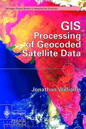
GIS Processing of Geocoded Satellite Data


Disponibilità: Normalmente disponibile in 15 giorni


PREZZO
162,98 €


Questo prodotto usufruisce delle SPEDIZIONI GRATIS
selezionando l'opzione Corriere Veloce in fase di ordine.


Pagabile anche con Carta della cultura giovani e del merito, 18App Bonus Cultura e Carta del Docente


Facebook Twitter Aggiungi commento


Spese Gratis

Dettagli

Genere:Libro
Lingua: Inglese
Editore:

Springer

Pubblicazione: 10/2001
Edizione: 2001


Trama

The book opens with the basic techniques of satellite geocoding (including the use of GPS and mosaic production) before describing a wide range of algorithms for extraction of information from optical and radar satellite images. The text then moves on to address the derivation of topographic information from space (including the recent Shuttle Topographic Radar Mission) followed by an explanation of the added-value obtained through the integrated use of geocoded satellite data in a Geographic Information System (GIS). Practical commercial and scientific applications are described in detail - first looking at land applications such as agriculture and civil engineering and then at the oceanographic, atmospheric and cryospheric worlds. Jonathan Williams reviews recent developments in 'environmental monitoring and global security' such as hazard and disaster monitoring, population dynamics and space missions dedicated to environmental monitoring (such as the Earth Observing System and theEuropean ENVISAT Mission). Finally, the author draws together all the threads under the generic term of geomatics - addressing cutting-edge developments such as Very High Resolution Imagery (VHR) and the role that satellite data may play in the development of Location Based Services for the third-generation telecom market.


Sommario

Geocoding Basics.- Thematic Information from Space.- Height Information from Space.- Introduction to GIS for Earth Observation.- Land Applications.- Ocean Atmosphere and Crysphere Applications.- Environment and Security.- Synergy with Other Space Technology.- Advanced Technology for Earth Observation.


Altre Informazioni

ISBN:

9783540426486

Condizione: Nuovo
Collana: Springer Praxis Books
Dimensioni: 235 x 155 mm
Formato: Copertina rigida
Illustration Notes:XVII, 327 p. 145 illus., 20 illus. in color.
Pagine Arabe: 327
Pagine Romane: xvii


Dicono di noi