home libri books Fumetti ebook dvd top ten sconti 0 Carrello


Torna Indietro

gomarasca mario a. - basics of geomatics

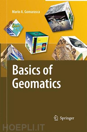
Basics of Geomatics


Disponibilità: Normalmente disponibile in 15 giorni


PREZZO
248,98 €
NICEPRICE
236,53 €
SCONTO
5%


Questo prodotto usufruisce delle SPEDIZIONI GRATIS
selezionando l'opzione Corriere Veloce in fase di ordine.


Pagabile anche con Carta della cultura giovani e del merito, 18App Bonus Cultura e Carta del Docente


Facebook Twitter Aggiungi commento


Spese Gratis

Dettagli

Genere:Libro
Lingua: Inglese
Editore:

Springer

Pubblicazione: 11/2014
Edizione: 2009


Trama

Geomatics is a neologism, the use of which is becoming increasingly widespread, even if it is not still universally accepted. It includes several disciplines and te- niques for the study of the Earth’s surface and its environments, and computer science plays a decisive role. A more meaningful and appropriate expression is G- spatial Information or GeoInformation. Geo-spatial Information embeds topography in its more modern forms (measurements with electronic instrumentation, sophisticated techniques of data analysis and network compensation, global satellite positioning techniques, laser scanning, etc.), analytical and digital photogrammetry, satellite and airborne remote sensing, numerical cartography, geographical information systems, decision support systems, WebGIS, etc. These specialized elds are intimately interrelated in terms of both the basic science and the results pursued: rigid separation does not allow us to discover several common aspects and the fundamental importance assumed in a search for solutions in the complex survey context. The objective pursued by Mario A. Gomarasca, one that is only apparently modest, is to publish an integrated text on the surveying theme, containing simple and comprehensible concepts relevant to experts in Geo-spatial Information and/or speci cally in one of the disciplines that compose it. At the same time, the book is rigorous and synthetic, describing with precision the main instruments and methods connected to the multiple techniques available today.


Sommario

Geomatics.- Elements of Cartography.- Elements of Photogrammetry.- Elements of Remote Sensing.- Elements of Informatics.- Acquisition Systems.- Satellite Positioning Systems.- Digital Image Processing.- Elements of Geographical Information Systems.- Land Use/Land Cover Classification Systems.


Altre Informazioni

ISBN:

9789400789517

Condizione: Nuovo
Dimensioni: 235 x 155 mm
Formato: Brossura
Illustration Notes:XLI, 656 p.
Pagine Arabe: 656
Pagine Romane: xli


Dicono di noi